

 ✨
✨
 ✨
✨
 ✨
✨




Fort Gibson Lake Land Starting $200 Month
📍 S 337 Rd, Chouteau, Wagoner County, Oklahoma 74337 🔥 624 views
📝 Property Description
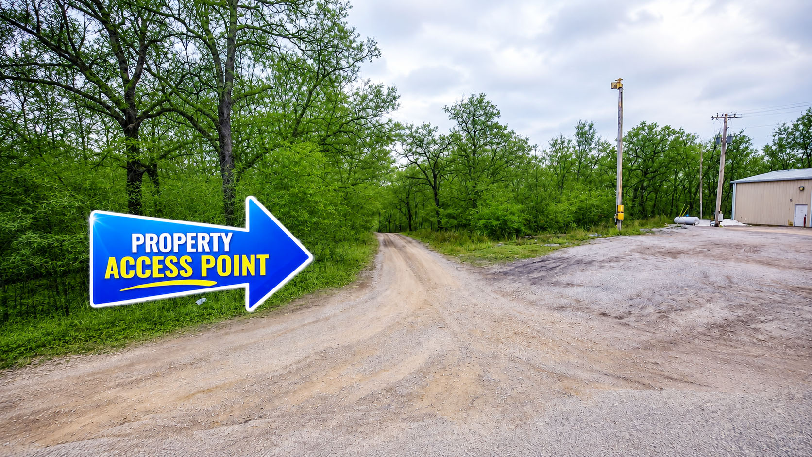
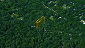
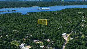
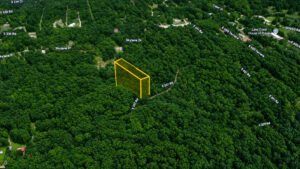
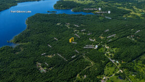
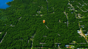
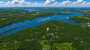
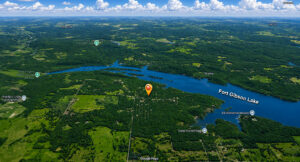
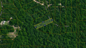
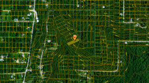
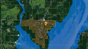
Every now and then a property comes along that simply makes financial sense, and Lot 285 on S 337 Road in Lake Crest is exactly that kind of find. At 0.30 acres with no HOA, no minimum home size, and a cash price that makes it one of the most affordable lakeside parcels in eastern Oklahoma, this is the opportunity that patient land buyers have been waiting for. What makes this lot truly stand out is its shape. With dimensions stretching up to 260 feet deep, this is not your average square subdivision parcel. The long, narrow footprint gives you a generous 13,005 square feet of mostly level land that feels more spacious and private than a standard lot, with plenty of room to set back a home, add outbuildings, or simply enjoy the natural buffer that comes with that kind of depth. The agricultural general zoning keeps your building options open, welcoming site-built homes, manufactured homes, and mobile homes with no restrictions on size or style. You would also be able to stay in an RV on the property while actively building, giving you flexibility and convenience during construction. Utilities are in your corner. Power through Lake Region Electric Cooperative is available, and for water you have the flexibility of connecting to Mayes County RWD #2 or drilling your own private well — a dual option that adds genuine long-term self-sufficiency to the package. A septic system handles waste, and the FEMA confirmed no flood risk designation ensures the land is as dependable as it is affordable. Fort Gibson Lake is just minutes away, delivering world class fishing, boating, swimming, and outdoor recreation as a natural extension of your backyard. The wooded surroundings of the Lake Crest community provide scenic views and wildlife sightings as part of everyday life. Nearby ATV trails, hunting areas, and hiking paths round out a lifestyle that city dwellers spend years trying to access. Tulsa is reachable in about 46 minutes via US-412 when you need it. Annual taxes are an almost unbelievable $7 per year with zero HOA dues ever. Owner financing starts at just $290 per month with no credit check required. This much land, this close to a lake, for this little money — it does not stay available for long.
📋 Property Details
⚡ Features & Utilities
📍 Area Information
🧭 GPS Coordinates
🧮 Payment Calculator
No credit check • No interest • No penalties
💬 Have Questions?
📍 Property Location
⚠️ Boundary lines shown are approximate and for illustrative purposes only. They should not be relied upon for legal or surveying purposes. A professional land survey is recommended to verify exact property boundaries.
Open in Google Maps →
All sales are final and due diligence is the responsibility of the Buyer. Land is sold as is and where is. No living, camping, or placement of structures or personal property is allowed until the land has been paid in full and transferred to Buyer.