


 ✨
✨
 ✨
✨
 ✨
✨
 ✨
✨


Premier Lake Tansi Lot on Chanute Trail
📍 1020 Chanute Trl, Crossville, Cumberland County, Tennessee 38572 🔥 523 views
📝 Property Description
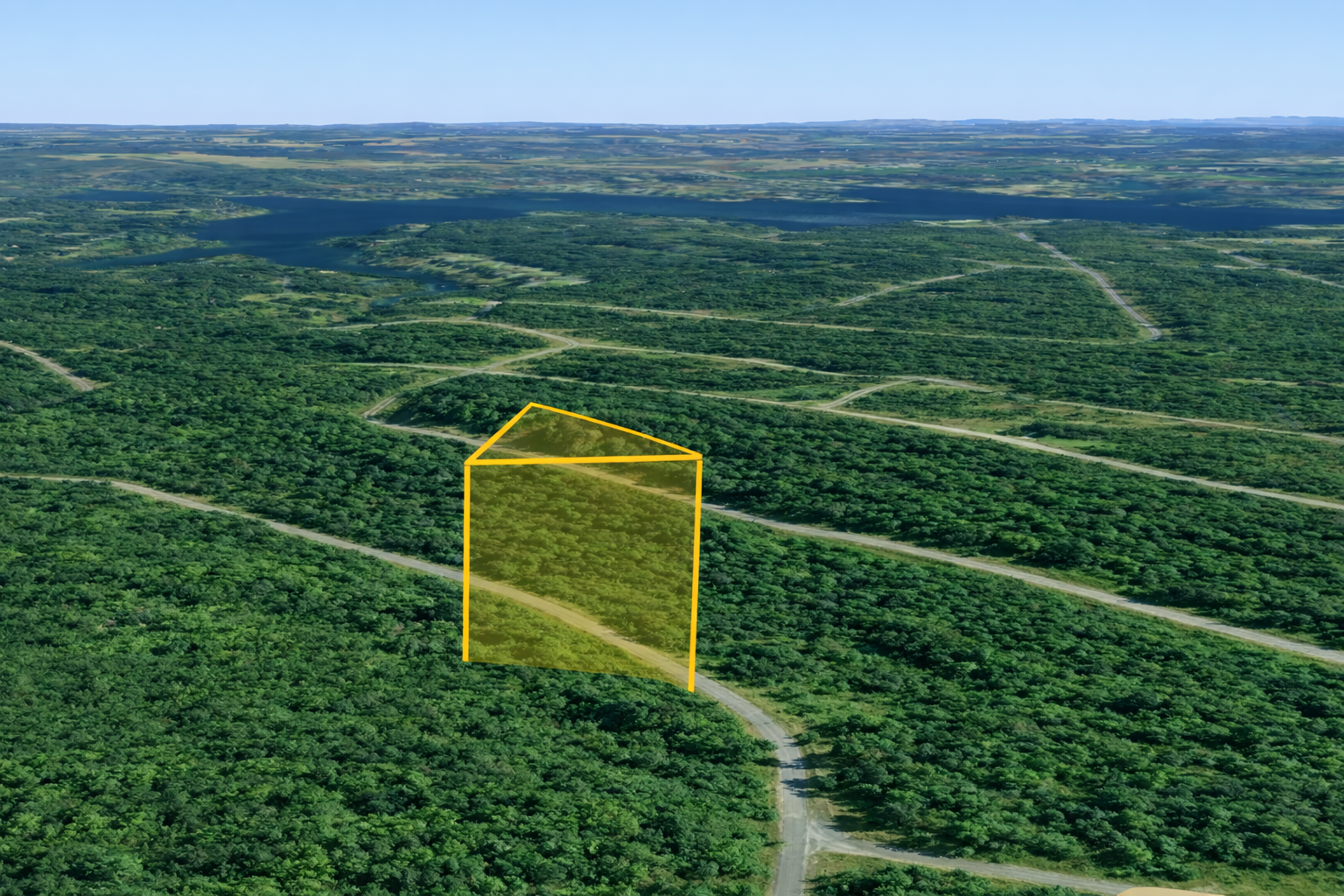
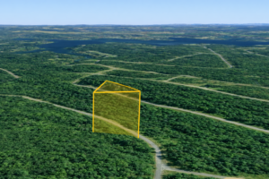
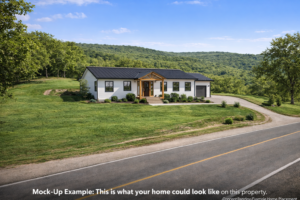
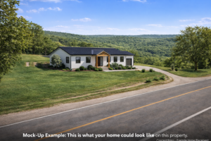
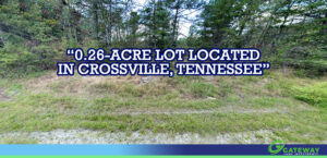
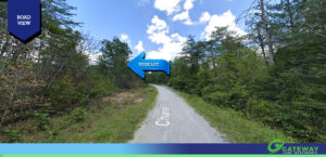
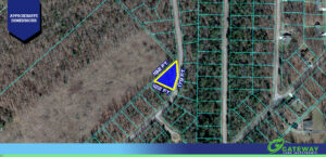
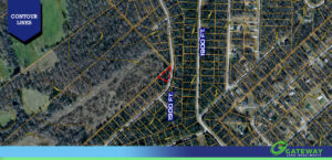
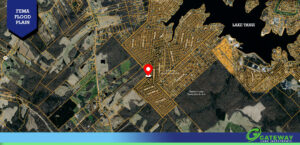
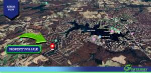
At 1,900 feet of elevation, Lot 61 on Chanute Trail sits at the highest point of any Lake Tansi lot currently available through Gateway Land Investments. That distinction means something real — cooler summers, broader views of the Cumberland Plateau's rolling landscape, and the kind of crisp mountain atmosphere that makes Tennessee's plateau country one of the most sought-after lifestyle destinations in the entire Southeast. This 0.26-acre parcel in the Kiowa section of Lake Tansi Resort is one of the more characterful lots in the community, with an irregular shape that spans up to 192 feet in depth and delivers 11,469 square feet of perfectly level, build-ready land. The irregular dimensions are a genuine asset, giving you the kind of natural setback and spatial flexibility that a standard square lot simply cannot offer. Zoned for single-family residential use with a 1,200 square foot minimum, this is a lot that rewards thoughtful home design and will hold its value for the long term. Utilities are in place and ready to connect. Power through Volunteer Energy Cooperative and water through South Cumberland Utility District are both available, and the advanced on-site sewer treatment options standard throughout Lake Tansi give you full control over your property's infrastructure. A FEMA confirmed no flood risk designation rounds out an already solid foundation of practicality and confidence. The Lake Tansi lifestyle needs no introduction for anyone who has visited the area, but it bears repeating: residents enjoy a pool, clubhouse, tennis and pickleball courts, a championship golf course, a marina, lake access, a dedicated beach area, walking and biking trails, mini golf, a full recreation center, a playground, and a calendar packed with community events — all for $302 per year in POA dues. It is one of the most compelling value propositions in Tennessee real estate, full stop. Crossville is only 9 miles away for everyday needs. Annual taxes are just $14 per year. Owner financing starts at $150 per month with no credit check required. Nearly 300 people have already viewed this lot. The next step is yours.
📋 Property Details
⚡ Features & Utilities
📍 Area Information
🧭 GPS Coordinates
🧮 Payment Calculator
No credit check • No interest • No penalties
💬 Have Questions?
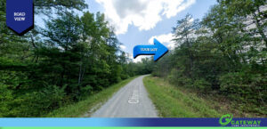
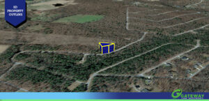
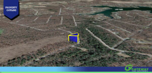
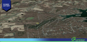
📍 Property Location
⚠️ Boundary lines shown are approximate and for illustrative purposes only. They should not be relied upon for legal or surveying purposes. A professional land survey is recommended to verify exact property boundaries.
Open in Google Maps →
All sales are final and due diligence is the responsibility of the Buyer. Land is sold as is and where is. No living, camping, or placement of structures or personal property is allowed until the land has been paid in full and transferred to Buyer.